
Property surveys can look like a confusing maze of lines, numbers, and symbols. But understanding how to read a property survey is essential whether you're buying land, selling property, or resolving boundary disputes. This comprehensive guide will help you decode every element of your property survey with confidence.
What Is a Property Survey?
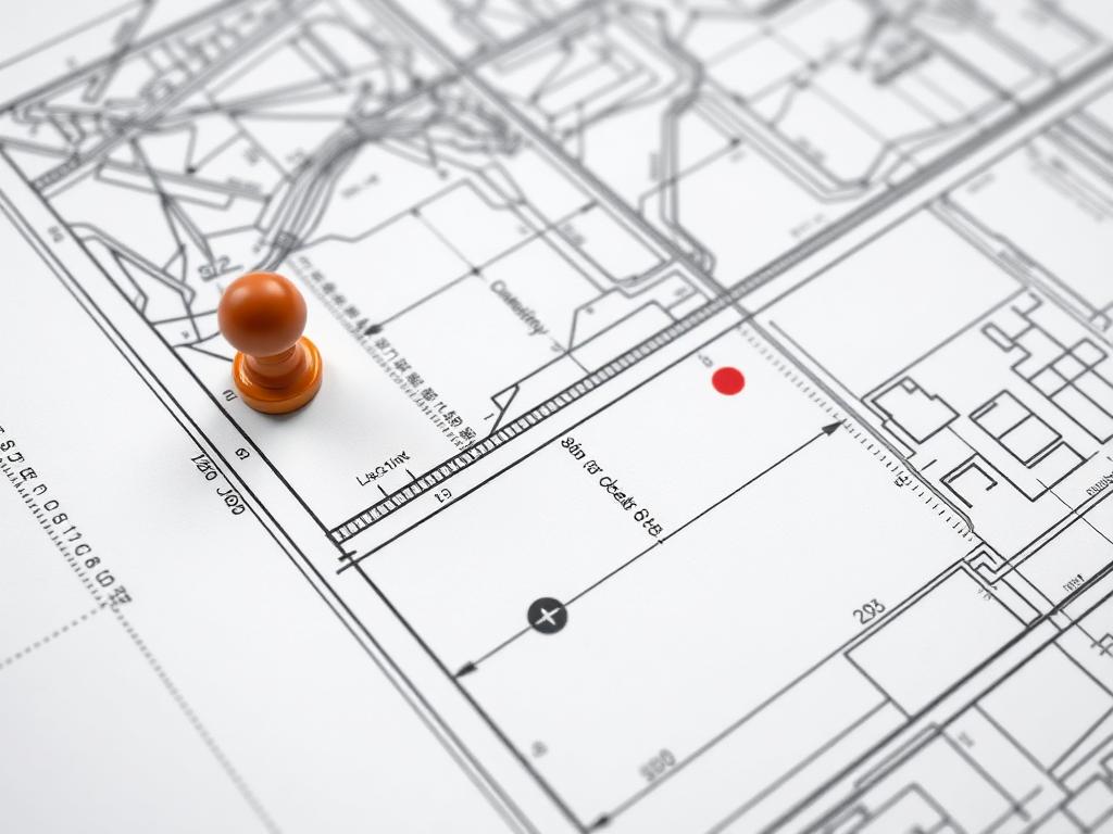
A property survey is an official document prepared by a licensed land surveyor that shows the precise boundaries, dimensions, and features of a parcel of land. Think of it as your property's fingerprint—a unique map that defines exactly what you own.
Professional surveyors use specialized equipment to measure and map your property with incredible accuracy, typically down to within inches or even fractions of an inch. This legal document becomes crucial when buying, selling, or developing land.
Essential Survey Components You Need to Know
1. Property Boundary Lines
The most important element of any survey is the boundary line—the legal perimeter of your property. These lines are typically drawn bold and continuous, often forming a polygon shape. Each boundary line includes measurements showing the distance (usually in feet) and the bearing or direction (expressed in degrees, minutes, and seconds).
For example, you might see "N 45°30'15" E 250.75'" which means the boundary line runs northeast at a specific angle for 250.75 feet. Understanding these bearings and distances is crucial when you need to physically locate property corners on the ground.
2. Monuments and Markers
Survey monuments are physical markers placed at property corners. These can be iron pins, concrete markers, or brass caps. On your survey drawing, these are typically shown as small circles or squares with specific labels. Finding these monuments on your actual property can sometimes be challenging, as they may be buried or obscured by vegetation over time.

3. Easements and Rights of Way
Easements are perhaps the most misunderstood aspect of property surveys. An easement grants someone else the legal right to use a portion of your property for a specific purpose. Common types include utility easements (for power lines, water pipes, or sewer lines) and access easements (allowing neighbors to cross your property to reach theirs).
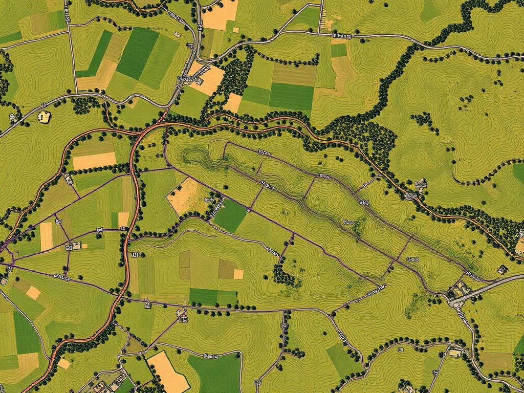
On surveys, easements are typically shown as dashed or dotted lines with labels indicating the easement width and purpose. Understanding easement locations is critical—you generally cannot build permanent structures within easement areas, and this can significantly impact your property's usable space.
4. Setback Lines
Setback lines show how far structures must be built from property boundaries, streets, or other features. These are mandated by local zoning regulations and are shown as dashed lines parallel to boundary lines. Violating setback requirements can lead to costly legal issues and may require removing or relocating buildings.
5. Acreage and Square Footage
Your survey will include the total area of your property, typically shown in both acres and square feet. This calculated area is based on the exact boundary measurements and is the official size of your property for legal purposes. This number may differ slightly from tax records or previous estimates.
Decoding Common Survey Symbols and Abbreviations
Land surveys use a standardized set of symbols and abbreviations. Here are the most common ones you'll encounter:
- POB or POC: Point of Beginning or Point of Commencement—the starting point for the survey description
- N, S, E, W: Cardinal directions (North, South, East, West) used in bearings
- R/W or ROW: Right of Way, indicating public access areas
- Mon. or MON: Monument or marker location
- Approx.: Approximate location (not precisely measured)
- CL: Centerline, typically of roads or waterways
- Bldg.: Building or structure
- Fe or Iron: Iron pin or marker
Understanding these abbreviations helps you quickly identify key features and restrictions on your property. When in doubt about any symbol or term, don't hesitate to ask your surveyor for clarification—they're required to provide explanations.
Understanding the Legal Description
Every survey includes a written legal description that verbally describes the property boundaries. This description typically uses the "metes and bounds" system, which traces the property perimeter by starting at a point of beginning and following each boundary line around the property until returning to the starting point.
A typical metes and bounds description might read: "Beginning at an iron pin at the northeast corner of the property, thence South 45 degrees 30 minutes East a distance of 250.75 feet to an iron pin..." This written description legally defines your property and must match the survey drawing exactly.
Red Flags to Watch For
When reviewing your property survey, be alert for these potential issues:
- Encroachments: Structures from neighboring properties that extend onto your land (or vice versa)
- Discrepancies with tax records: If the surveyed acreage differs significantly from tax assessor records
- Missing monuments: If survey markers cannot be located on the ground
- Conflicting easements: Multiple easements that overlap or contradict each other
- Access issues: If your property lacks legal access to a public road
- Flood zones: Areas within FEMA flood plain boundaries
Identifying these issues early can save thousands in legal fees and prevent future disputes with neighbors or local authorities.
When Should You Order a New Property Survey?
While old surveys can provide useful information, you should strongly consider ordering a new survey when:
- Buying or selling property (most lenders require surveys less than 5 years old)
- Planning construction or major improvements
- Resolving boundary disputes with neighbors
- Subdividing land or combining parcels
- Installing fences at property lines
- Existing survey is more than 10 years old
- There have been changes to the property or adjacent lands
A new survey ensures you have the most accurate, up-to-date information about your property boundaries and eliminates uncertainty that could lead to expensive legal problems down the road.
Questions to Ask Your Surveyor
When working with a land surveyor, don't be afraid to ask questions. Here are some important ones to consider:
- Are you licensed in this state?
- How long will the survey take to complete?
- What type of survey am I receiving? (boundary, topographic, ALTA, etc.)
- Will you physically mark the property corners?
- What happens if you discover boundary discrepancies?
- Is the survey guaranteed, and what's your liability insurance coverage?
- Can you explain any easements or restrictions you find?
Professional surveyors welcome questions and should be willing to explain their findings in terms you can understand. Their goal is to provide you with clear, accurate information about your property.
Practical Applications of Survey Knowledge
Understanding how to read property surveys isn't just academic—it has real-world applications that can save you money and headaches:
When selling land: Having a recent, clear survey makes your property more attractive to buyers and can speed up transactions. Buyers appreciate sellers who can provide comprehensive property information, and it demonstrates transparency. If you're looking to sell vacant land quickly, a current survey is one of the best investments you can make.
During renovations: Before adding a deck, pool, or outbuilding, check your survey to ensure you're not violating setback requirements or building within easements.
Resolving disputes: If a neighbor claims part of your land or disputes a fence location, your survey provides legal documentation of the true boundary line.
Estate planning: Accurate surveys are essential when dividing property among heirs or setting up trusts involving real estate.
Final Thoughts on Reading Property Surveys
Learning to read and understand property surveys empowers you as a landowner. While surveys can initially seem overwhelming with their technical terminology and complex diagrams, breaking them down into components makes them much more manageable.
Remember that your survey is a legal document with significant implications for property rights, land use, and financial value. Take the time to thoroughly review it, ask questions when something isn't clear, and keep it in a safe place with your other important property documents.
Whether you're planning to develop your land, resolve boundary questions, or eventually sell your property, having a solid grasp of survey fundamentals puts you in a stronger position to make informed decisions and protect your investment.
Need to Sell Your Land?
Whether you have a current survey or not, we buy land in any condition. Get a fair cash offer with no surveys, inspections, or complications required.
Get Your Free Cash Offer
Fill out the form below and receive a no-obligation offer within 24 hours
Related Resources
Looking for more information about land ownership and sales? Check out our other helpful guides: